
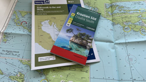
Imray announce joint venture to secure charts
Imray and freytag & berndt plan joint venture to secure future of nautical charts
https://www.imray.com/news/imray-announce-joint-venture-to-secure-charts/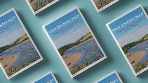
West Country Pilot
https://www.imray.com/news/west-country-pilot/
Imray Gift Vouchers
https://www.imray.com/news/imray-gift-vouchers/Imray chart publishing
https://www.imray.com/news/imray-chart-publishing/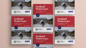

Chris Howes
https://www.imray.com/news/chris-howes/
Isles of Scilly
From the Royal Cruising Club Pilotage Foundation cruising guide
https://www.imray.com/news/isles-of-scilly/
Anchoring techniques: Adapting to seabed types
Adapting to seabed types
https://www.imray.com/news/anchoring-techniques-adapting-to-seabed-types/
Mediterranean mooring tips
From Ionian by Rod & Lu Heikell
https://www.imray.com/news/mediterranean-mooring-tips/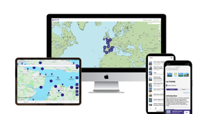
Explore with Imray app
17 000 points of interest from trusted Imray pilot books, now available offline
https://www.imray.com/news/explore-with-imray-app/