
New 2023 edition available now
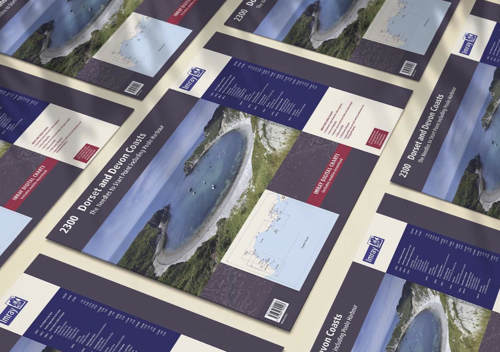
Dorset and Devon coasts chart pack
It's the time of year when we publish new editions of many of our chart packs.
They're available in convenient A2 format chart pack, either loose leaf or wiro bound, in a sturdy plastic wallet.
2300 Dorset and Devon Coasts covers the waters from the River Dart to the western approaches to The Solent. It's been redesigned and expanded to 13 sheets and includes improved coastal coverage throughout.
The pack is based on the latest official UKHO data combined with additional information sourced from Imray''s network to make it ideal for small craft.
The chart pack includes all the navigational charts and tidal data for passage, approach, and mooring, and is designed to be used alongside The Shell Channel Pilot by Tom Cunliffe.